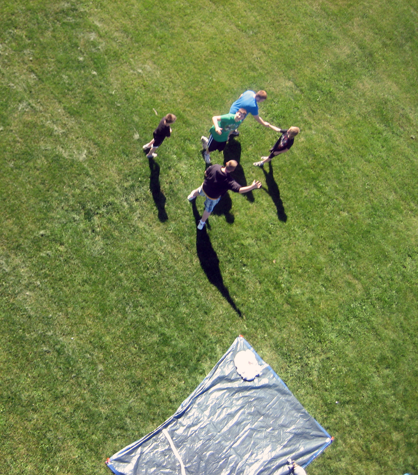
 Students
celebrate after the launch of a weather balloon that is carrying a Canon
digital camera 60,000 to 90,000 feet in the air in an attempt to capture photos
of the curvature of the Earth, the thin veil of its atmosphere and the darkness
of space. Randy Edelman, a technology education teacher at the
Philipsburg-Osceola area junior high school in Pennsylvania, was in charge of
the project.
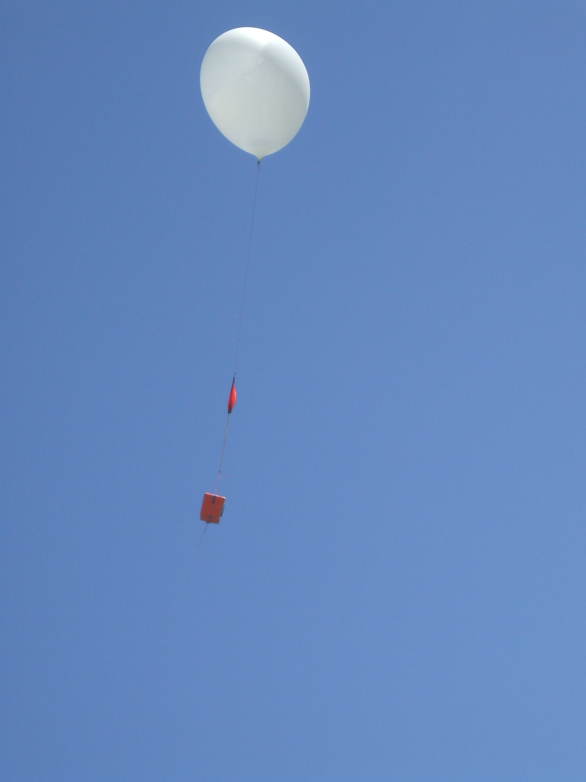
A
weather balloon with parachute and payload, launched by technology education
teacher Randy Edelman of the Philipsburg-Osceola area junior high school in
Pennsylvania and his students, flies toward space. The group launched the
balloon, which is carrying a camera, 60,000 to 90,000 feet in the air in an
attempt to capture photos of the curvature of the Earth, the thin veil of its
atmosphere and the darkness of space.
 Edelman came up with the idea after
reading about students at MIT who accomplished a similar experiment. Edelman
planned the project with Seth Wilberding, a doctoral student from Pennsylvania
State University who volunteers at the school one day a week through a National
Science Foundation partnership.
In the classroom, Edelman had his
students calculate how the altitude, pressure and climate would affect the rate
of ascent and descent of the balloon. Then the group placed a Canon digital
camera inside a Styrofoam cooler and surrounded it with newspaper and hand
warmers to keep the electronics warm at 90,000 feet, where temperatures can go
below 50 degrees Fahrenheit. The camera was programmed to take photos every 12
seconds. They painted the cooler bright orange so it would be easier to spot
and attached a parachute to it for safe landing.
The cooler was launched on a windy day
from the high-school baseball field in Philipsburg. It stayed aloft for 72
minutes, after which it landed about 90 miles away in the town of Newport,
between Lewistown and Harrisburg. Edelman was able to safely retrieve the
cooler from its landing spot in a tree 70 feet in the air.
The experiment was a success, yielding
388 pictures, some of which were snapped at 60,000 to 90,000 feet--two or three
times as high as planes fly. Other shots included aerial views of Interstate
99, U.S. Route 322, Philipsburg, State College and other local landmarks.
Edelman funded most of the project with
a $500 education grant from the McDonalds Corporation. (Date of Images: June
2011)
Credit:
Philipsburg-Osceola School District.


No comments:
Post a Comment